The Desert Road and Tongariro National Park
State Highway 1 between Waiouru and Turangi is one of the strangest roads in New Zealand. Suddenly the green pastures and sheep vanish, and all around is brown wasteland, tussock grass and three volcanoes on the horizon. This is the Desert Road, and beyond it lies Tongariro National Park, where Mordor was filmed.
The Desert Road: a desert that isn't one
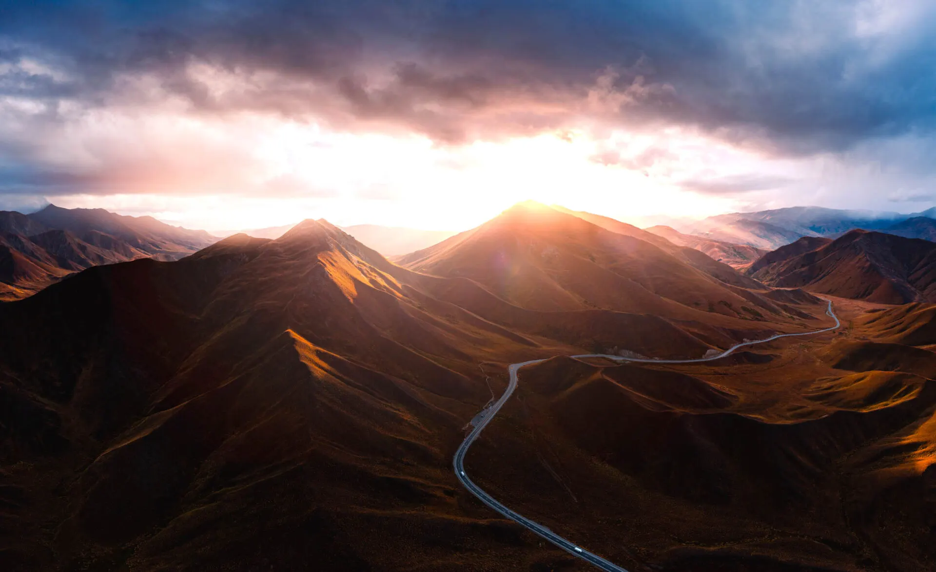
The Rangipo Desert isn't a real desert: it gets plenty of rain. But the land is parched, because the volcanic soil doesn't hold water and ancient eruptions swept away the vegetation. The result is a wasteland that glows gold and red at sunrise. In winter the road often closes for snow and ice: check the NZTA website.
- Turangi – north end of the Desert Road 38.991° S, 175.812° E
- Mangatepopo – start of the Alpine Crossing 39.141° S, 175.581° E
- Ngauruhoe – Mount Doom, the Emerald Lakes below 39.157° S, 175.632° E
- Whakapapa – village below Ruapehu 39.200° S, 175.540° E
- Ruapehu – highest mountain on the North Island 39.282° S, 175.569° E
- Waiouru – south end of the Desert Road 39.478° S, 175.668° E
Tongariro National Park
Tongariro is New Zealand's oldest national park (1887) and one of the first in the world. The Māori chief Te Heuheu Tūkino IV gifted the sacred peaks to the nation so they would be protected. The park is a UNESCO site for both its natural and its cultural values. It is made up of three active volcanoes:
- Ruapehu (2,797 m): the highest mountain on the North Island, with two ski areas.
- Ngauruhoe (2,291 m): a perfect cone that played Mount Doom.
- Tongariro (1,978 m): the broadest, with craters and coloured lakes.
The Tongariro Alpine Crossing
Probably New Zealand's most famous day hike. It's 19.4 km long and takes 6–8 hours. It starts at the Mangatepopo car park and ends at Ketetahi, so you need a shuttle.
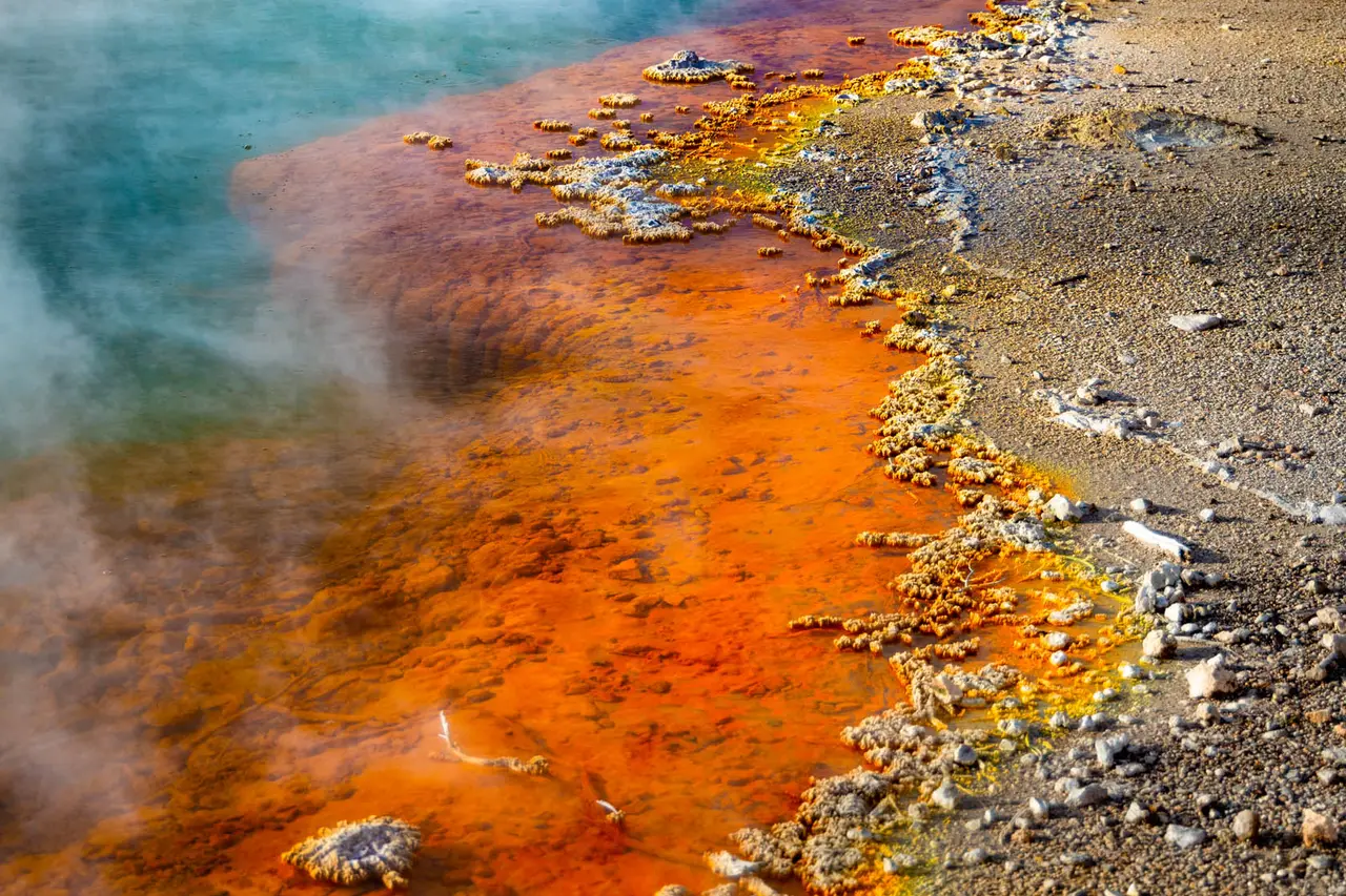
The track leads up a valley below Ngauruhoe, then climbs steeply (the Devil's Staircase) into the South Crater, up to the Red Crater, the highest point of the hike with its red and black walls, and down to the Emerald Lakes, which glow turquoise and green thanks to minerals. Then past the Blue Lake and a long descent with views of Lake Taupō.
Short walks in the park
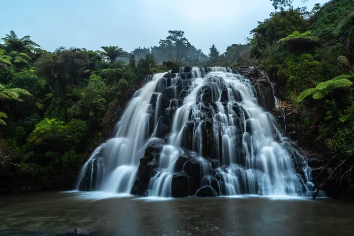
- Taranaki Falls: a 6 km loop from Whakapapa to a waterfall pouring over a lava ledge.
- Tawhai Falls: a few minutes from the road, Gollum's pool from The Lord of the Rings.
- Tama Lakes: two crater lakes between Ruapehu and Ngauruhoe.
- Silica Rapids: a stream with creamy white deposits.
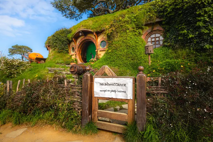
More about waterfalls in North Island waterfalls and about film locations in in the footsteps of The Lord of the Rings and The Hobbit.
Photographing the Desert Road
The Desert Road is most beautiful at dawn, when the low sun picks out the shapes of the hills and the tussock glows gold. Look for spots where the road winds through the landscape with the volcanoes above it. A drone gives great perspectives, but you can't fly in the national park without a permit.
Faq
How long is the Tongariro Alpine Crossing?
19.4 km; most people take 6–8 hours. It's a one-way hike, so you need transport back from the end.
Can I climb Mount Doom (Ngauruhoe)?
The summit is sacred to Māori, and DOC asks people not to climb it. Respect that and admire it from the track.
When is the Desert Road closed?
Mainly in winter (June–September), in snow and ice. You'll find the current status on the NZTA website.