A Northland road trip: north all the way to Cape Reinga
Northland is New Zealand's northernmost region, and locals call it the "Winterless North". Subtropical beaches, bays of turquoise water, giant kauri trees and the place where, by Māori tradition, souls depart for the underworld. The road trip through Northland was my first big trip in New Zealand, and I still think back to it.
- Auckland – start 36.849° S, 174.763° E
- Whangarei Falls – a waterfall by the town 35.690° S, 174.326° E
- Paihia – the Bay of Islands 35.281° S, 174.091° E
- Cape Reinga – the northernmost lighthouse and the Te Paki dunes 34.426° S, 172.678° E
- Tāne Mahuta – the largest living kauri 35.601° S, 173.528° E
Day 1: Whangarei Falls
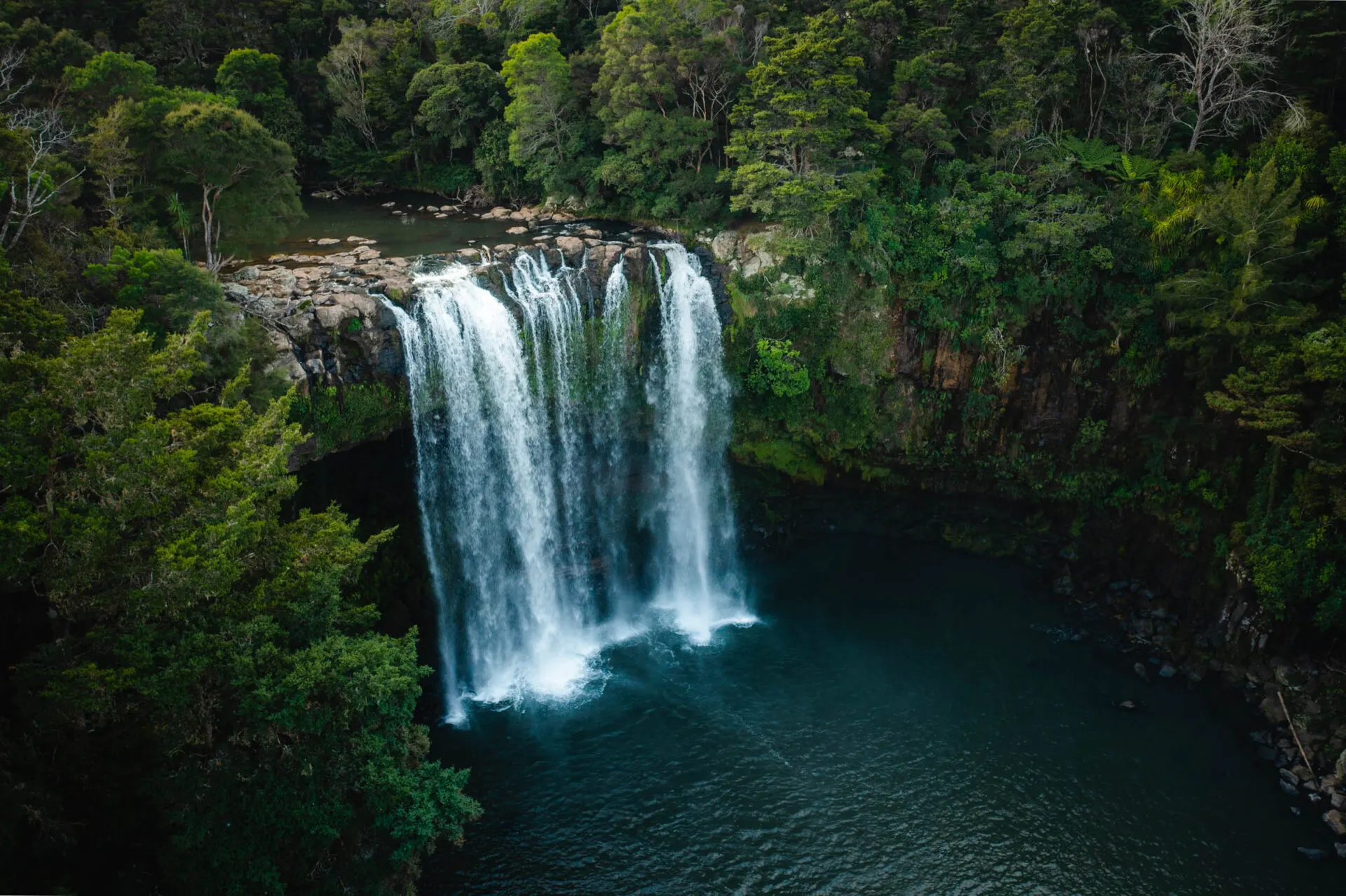
From Auckland it's under two hours to Whangarei Falls. Here the water drops 26 metres over a basalt edge into a pool surrounded by rainforest. A short loop leads below the falls and to viewpoints above them. More waterfalls are in waterfalls of the North Island.
Days 2–3: the Bay of Islands
The bay with its 144 islands is the heart of Northland. From the little town of Paihia, boats go out to the dolphins and to the rock arch of Hole in the Rock. At Waitangi in 1840 the treaty between Māori and the British Crown was signed: New Zealand's founding document. A tour of the Treaty Grounds with the great war canoe (waka) is a superb introduction to Māori culture. A ferry takes you across to historic Russell, once the "hell-hole of the Pacific", today a peaceful village.
Day 4: Cape Reinga and Te Paki
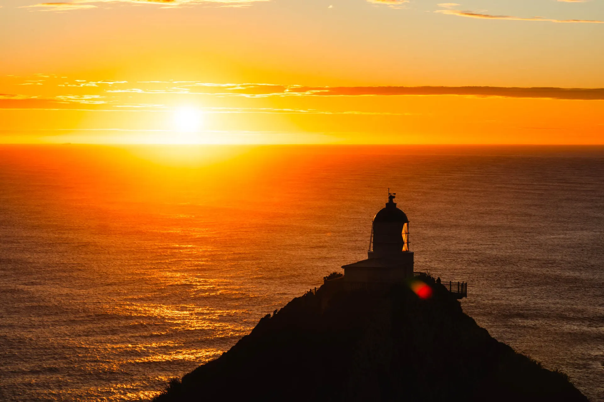
The northernmost tip you can drive to. From the car park a path leads to a white lighthouse above the cliffs, where the Tasman Sea meets the Pacific Ocean: you can see the waves of two seas crashing into each other. For Māori this is Te Rerenga Wairua, the place from which the souls of the dead depart. Be respectful, and don't eat or drink at the lighthouse.
On the way back, stop at the giant Te Paki sand dunes, where boards are hired out for sandboarding. And then there's 90 Mile Beach, an endless beach that buses drive along (don't take a rental car there; the insurance doesn't cover it).
A comparison of Cape Reinga with the North Island's southernmost tip is in Cape Reinga vs. Cape Palliser.
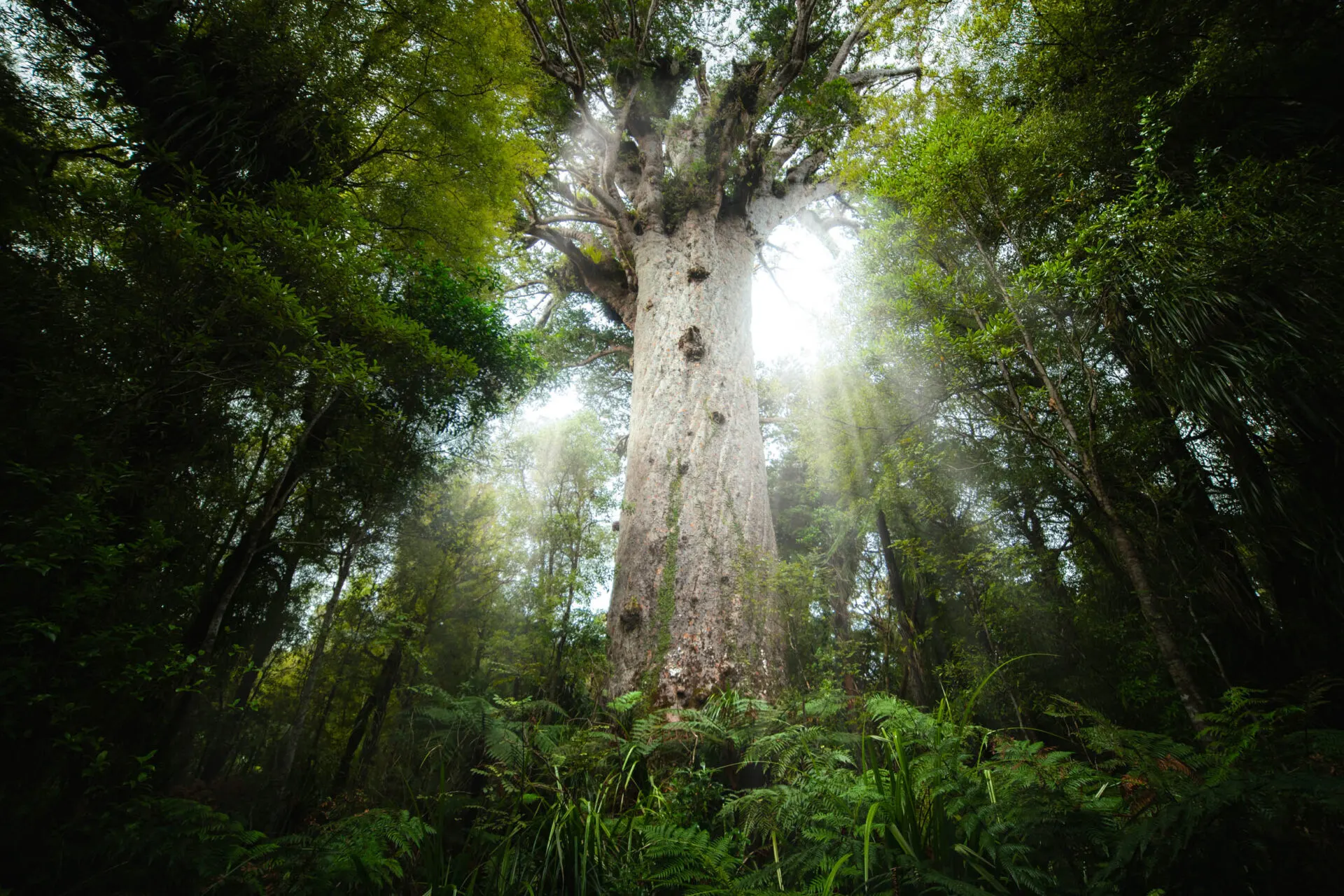
Day 5: Waipoua and Tāne Mahuta
Heading back south, take the west coast through the Waipoua Forest. Here stands Tāne Mahuta, the "Lord of the Forest": the largest living kauri tree. It's estimated to be over 1,500 years old, more than 50 metres tall, with a trunk over 13 metres around. Before entering the forest, clean your shoes at the cleaning station: kauri trees are threatened by a soil-borne disease.
Practical tips
- When: all year, best from November to April. In January the campsites are full.
- How many days: ideally 5–7.
- Sleeping: Northland has plenty of DOC campsites by the sea. With a self-contained car you can also sleep at freedom camping spots.
Faq
How many days do I need for Northland?
For the loop from Auckland via the Bay of Islands and Cape Reinga, ideally 5–7 days.
Can you drive along 90 Mile Beach?
Technically yes, but rental companies forbid it and the insurance doesn't cover it. The beach is dangerous because of the tide. A bus tour is better.
Where is the largest kauri tree?
Tāne Mahuta stands in the Waipoua Forest on Northland's west coast, right by State Highway 12.