Waterfalls and black beaches of Iceland's south coast
Iceland's south coast is like a textbook of Icelandic nature in one place. Waterfalls pouring off cliffs, black beaches with basalt columns, glacier tongues and moss-covered canyons, all along a single road. I've driven it several times, alone and with groups, and here's my south coast of Iceland itinerary, with tips on where to stop and how to photograph it.
- Seljalandsfoss – a waterfall you can walk behind 63.616° N, 19.989° W
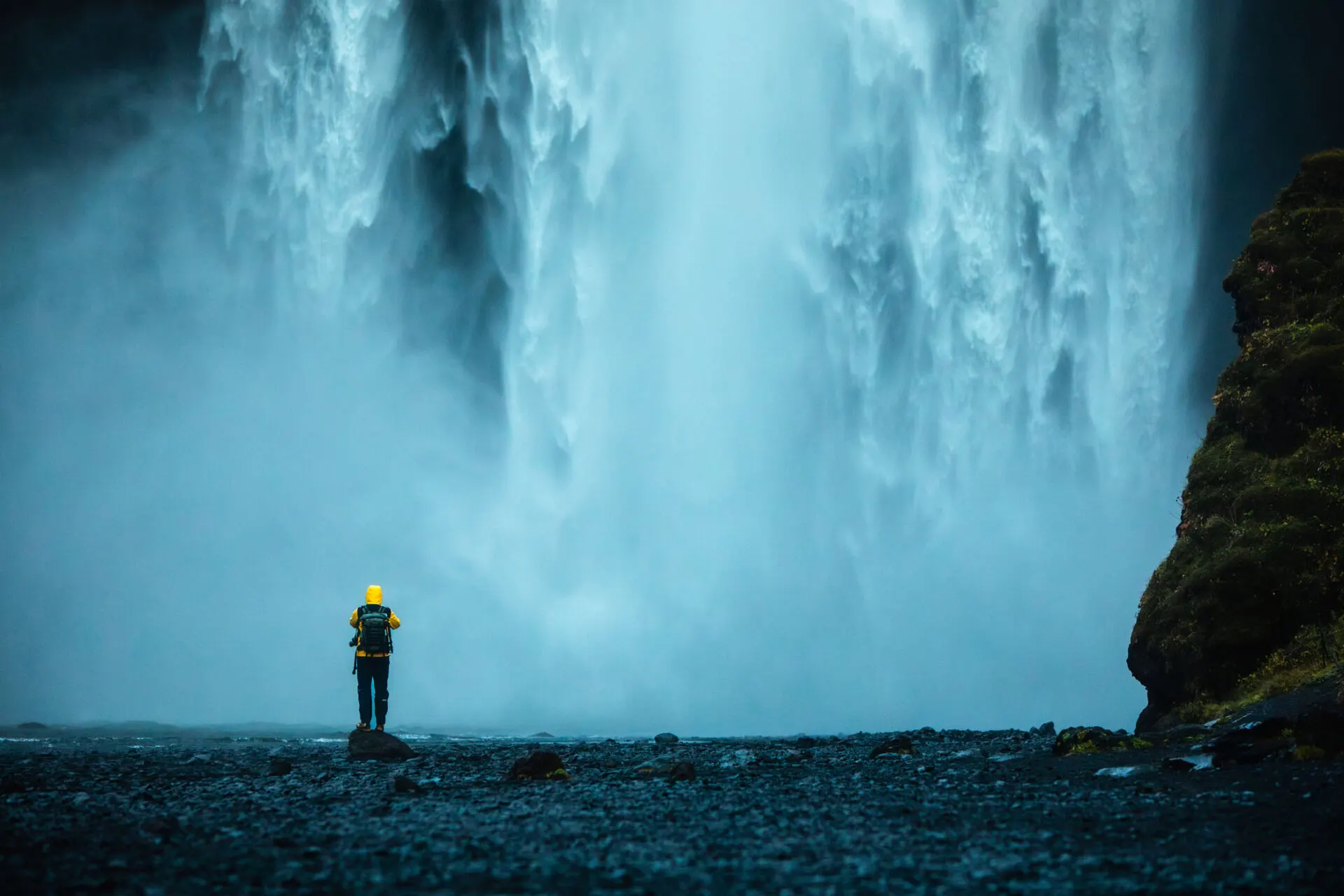
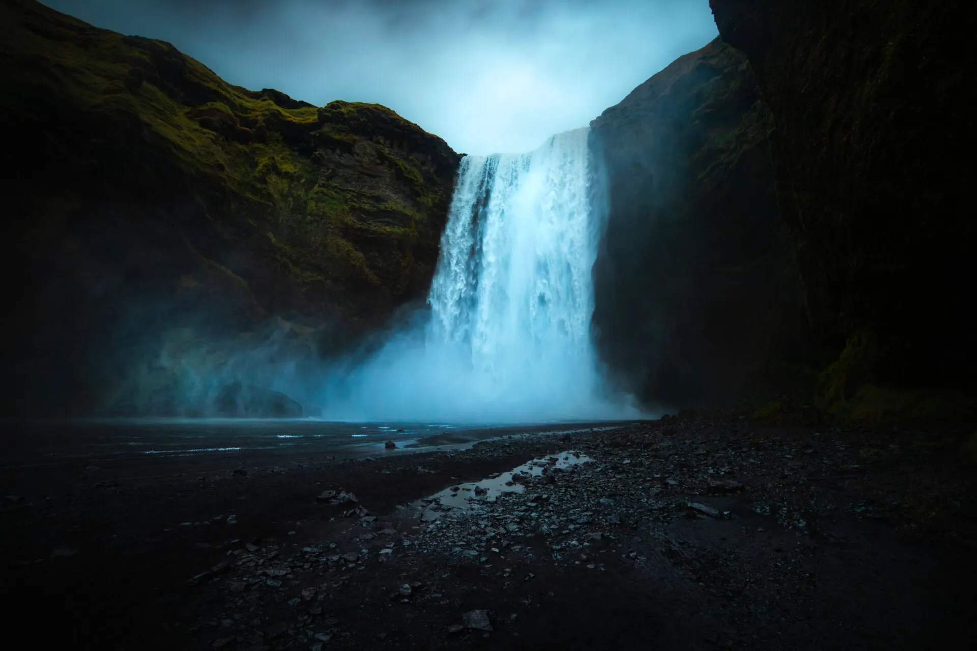
- Skógafoss – a 60-metre wall of water 63.532° N, 19.511° W
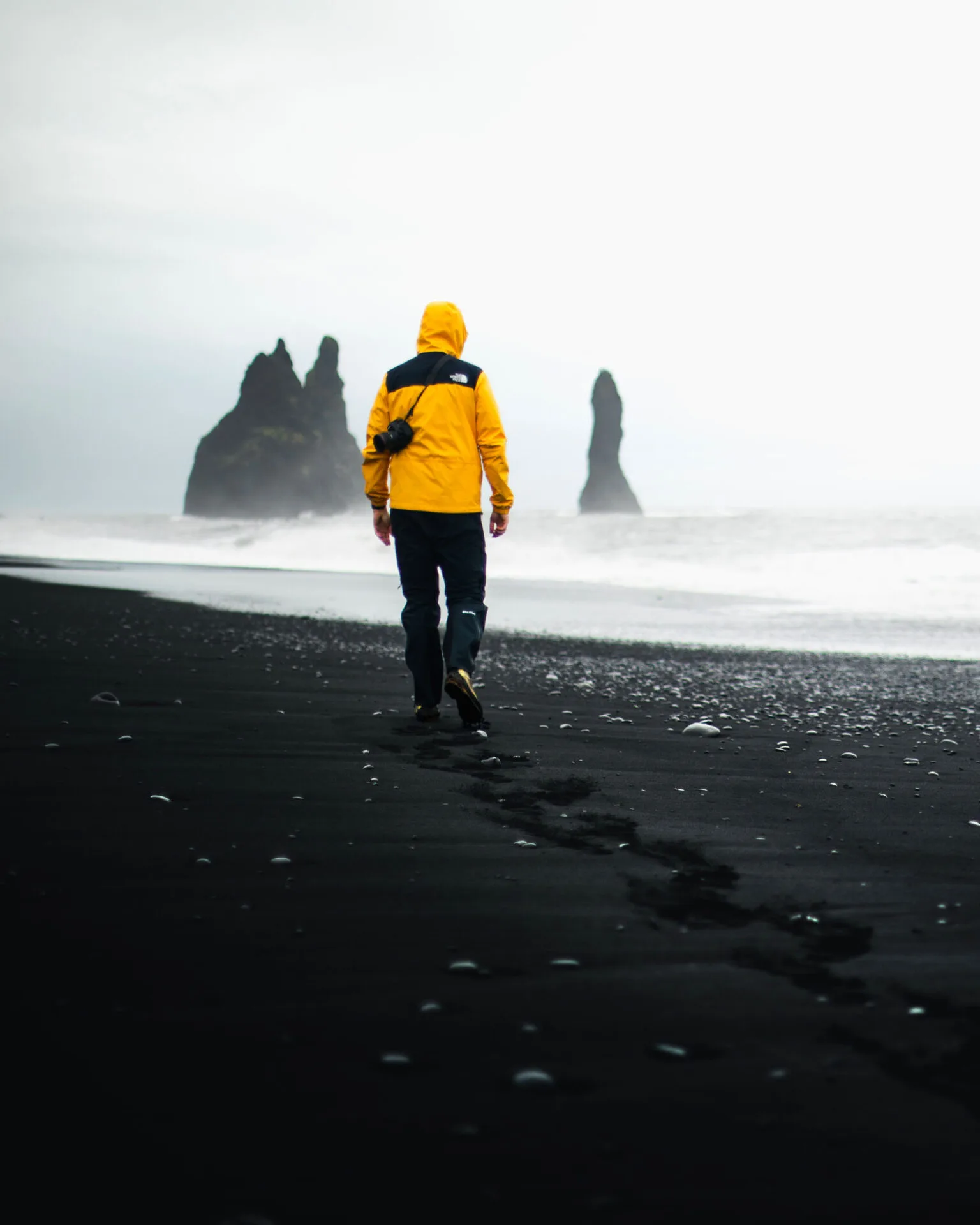
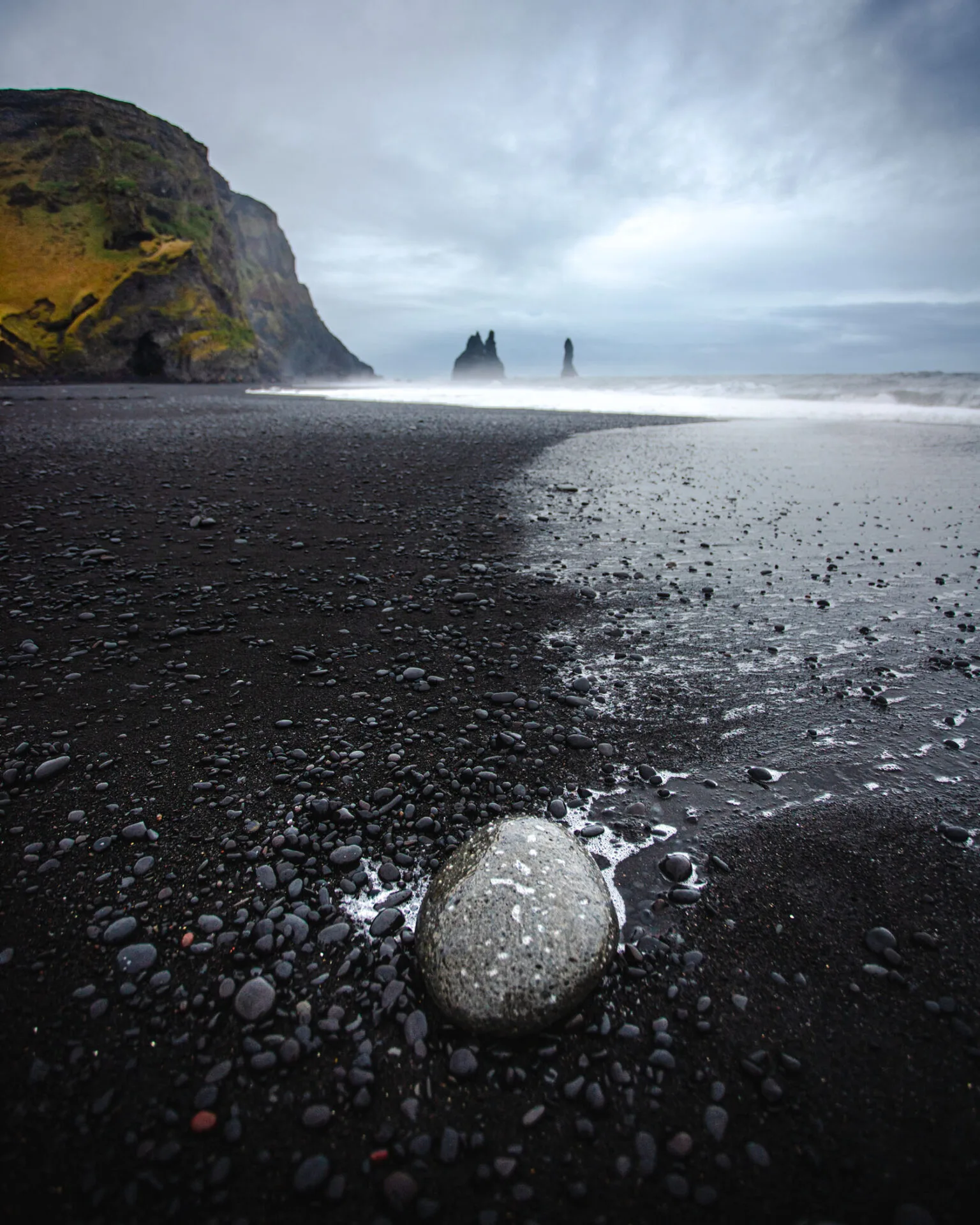
- Reynisfjara – black beach, Dyrhólaey and the village of Vík 63.404° N, 19.045° W
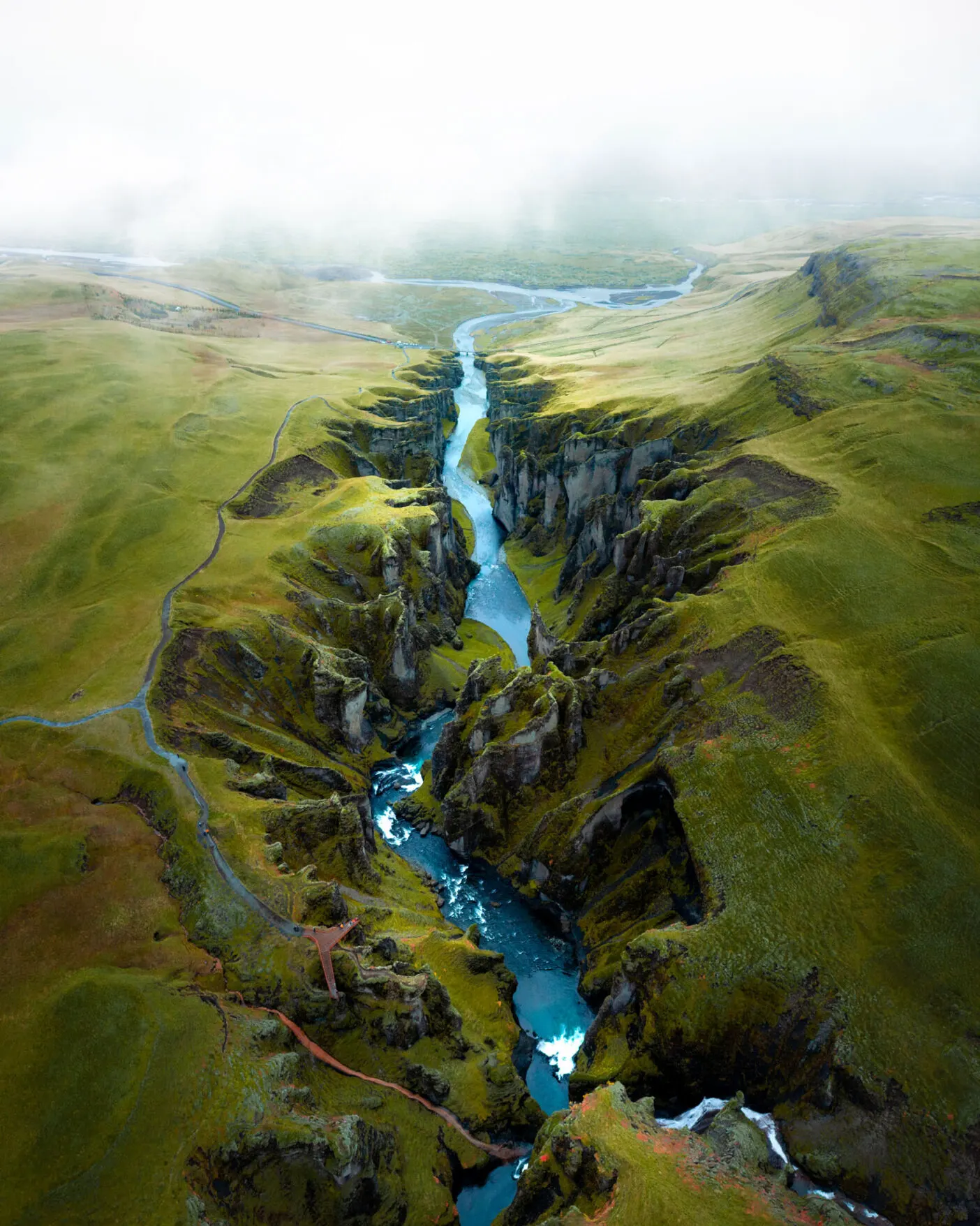
- Fjaðrárgljúfur – mossy canyon 63.771° N, 18.172° W
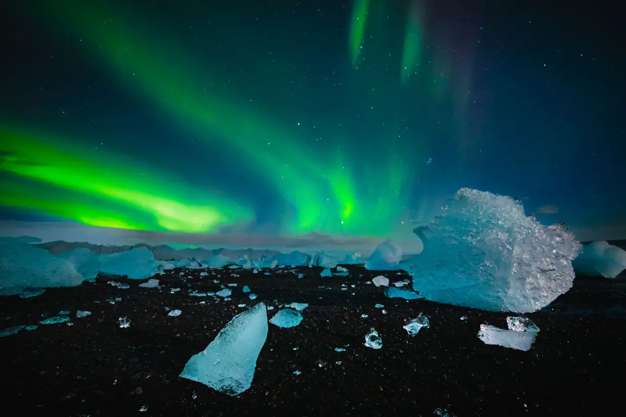
- Jökulsárlón – glacier lagoon 64.078° N, 16.231° W
- Vestrahorn – mountains above black dunes 64.248° N, 14.978° W
Seljalandsfoss and Gljúfrabúi
The first stop is just two hours from Reykjavík. Seljalandsfoss falls 60 metres, and a path leads right behind the wall of water: have a waterproof jacket ready. A few hundred metres on is the hidden Gljúfrabúi waterfall in a narrow gorge, which you reach across a stream. A great spot for a photo with a person for scale.
Skógafoss
A broad wall of water (25 metres wide, 60 high), with a rainbow above it in sunshine. Behind the waterfall, steps lead up to a viewpoint, and the Fimmvörðuháls trek starts here. My tip: stand by the water in a raincoat and have someone photograph you from afar with a wide-angle lens: a tiny human figure shows how huge the waterfall is.
Dyrhólaey and Reynisfjara
Dyrhólaey is a headland with a rock arch and a view of the whole coast. In summer puffins nest here. A little further on lies Iceland's most famous black beach, Reynisfjara, with basalt columns and the Reynisdrangar sea stacks.
Fjaðrárgljúfur
A canyon up to 100 metres deep, covered in green moss, with a river winding through it. The view from the viewpoints at the top is incredible, and even better from a drone (if flying is allowed). The canyon is sensitive to erosion and is sometimes closed to protect it: respect the signs.
Skaftafell and Jökulsárlón
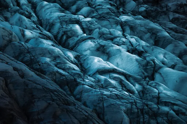
Beyond Kirkjubæjarklaustur the landscape turns into an endless plain of lava and sand. Then the glaciers appear. In Skaftafell you can go on a glacier hike, and a little further on the glacier lagoon and Diamond Beach await.
Vestrahorn and Stokksnes
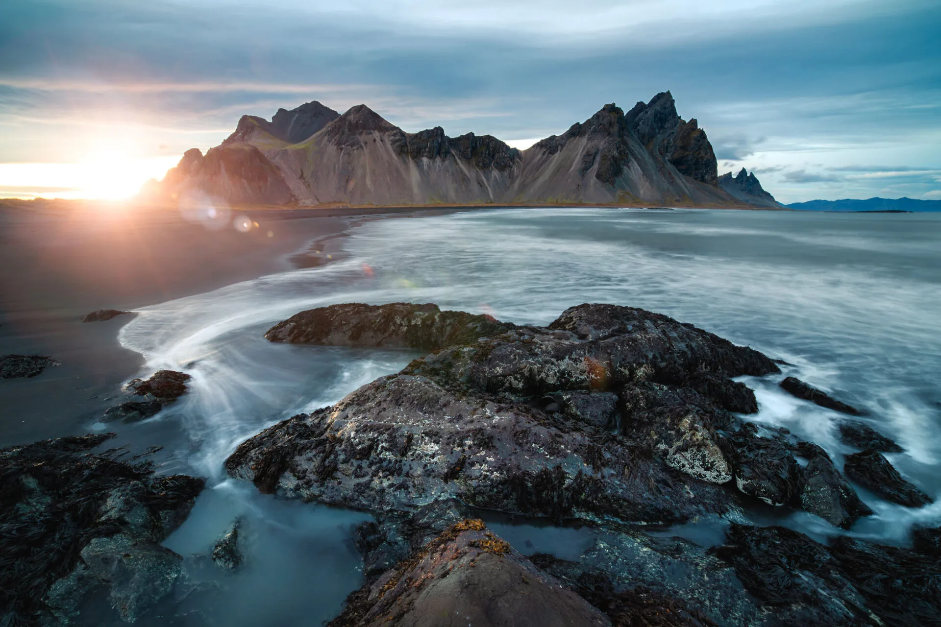
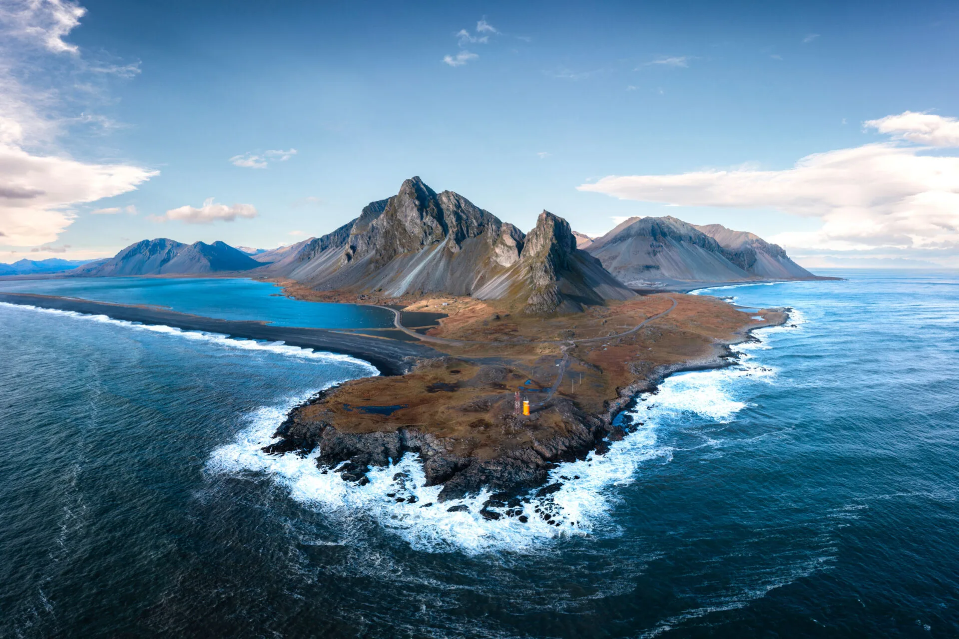
If you have time, carry on to Höfn. The Vestrahorn mountain towers above the black sand dunes of the Stokksnes peninsula and, at low tide, reflects in the wet sand. Access is across private land by the Viking Café, and there's a small fee.
How many days for the south coast
From Reykjavík to Vík is 180 km, to Jökulsárlón 370 km. You can "drive through" the whole south coast in two days, but I recommend at least three or four, so you have time for the light, hikes and unexpected weather. In winter the days are short and the roads are often icy.
Faq
How many days do I need for Iceland's south coast?
Ideally three or four days from Reykjavík to Jökulsárlón and back. Two days is possible, but you'll do a lot of driving.
Is Reynisfjara dangerous?
Yes, because of unexpected waves that have already taken several lives. Keep well away from the water and respect the warning lights.
Can you walk behind Seljalandsfoss all year?
In summer, yes. In winter the path is often icy and part of it closes. Bring microspikes.