An expedition into the Icelandic highlands: F-roads, Háifoss and wastelands
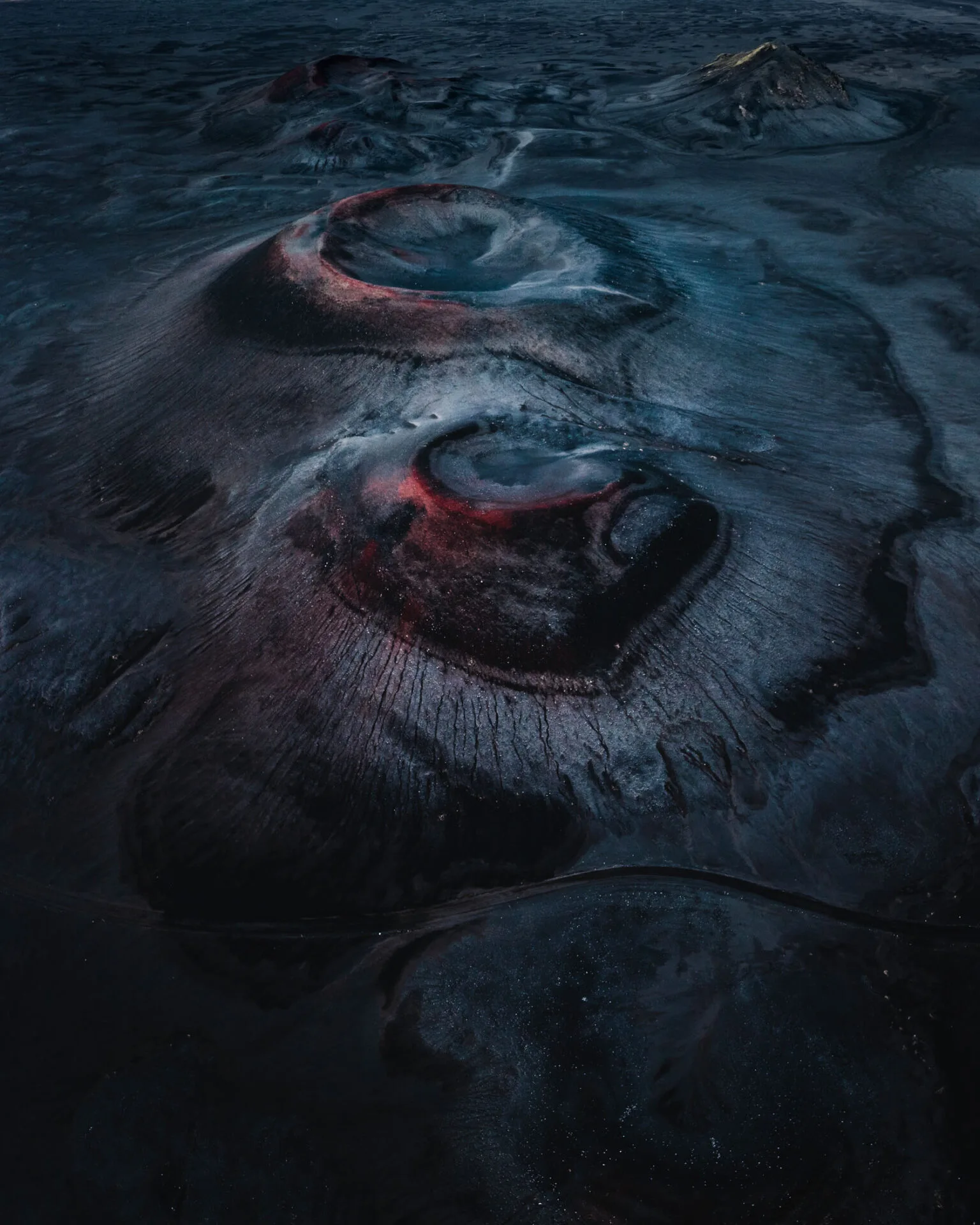
Everyone knows Iceland's coast. But the real Iceland, empty, raw and almost without people, begins only in the interior. The Icelandic highlands (Hálendið) are a vast wasteland of volcanic sand, glacial rivers, colourful mountains and geothermal valleys. You can only get there in summer, and only by 4x4. An expedition into the Icelandic interior was one of my strongest experiences on the whole island.
F-roads: what you need to know
Only the so-called F-roads (fjallvegir, mountain roads) lead into the interior. They are unpaved, full of holes and rocks, and rivers often run across them without bridges.
- They open from about late June to September, depending on the snow. Check the current status on umferdin.is.
- You need a 4x4. You may not drive an ordinary car on an F-road, and the insurance doesn't cover it.
- River crossings are the biggest risk. Rental insurance usually doesn't cover water damage.
- Fill up before you set off: there are hardly any petrol stations in the interior.
- Gullfoss – start of the F35 Kjölur route 64.327° N, 20.120° W
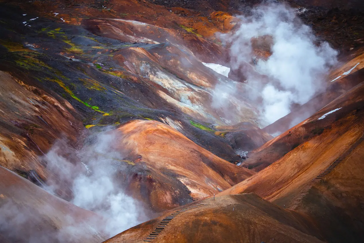
- Kerlingarfjöll – colourful geothermal mountains 64.642° N, 19.283° W
- Hrauneyjar – last petrol station before the wasteland 64.200° N, 19.270° W
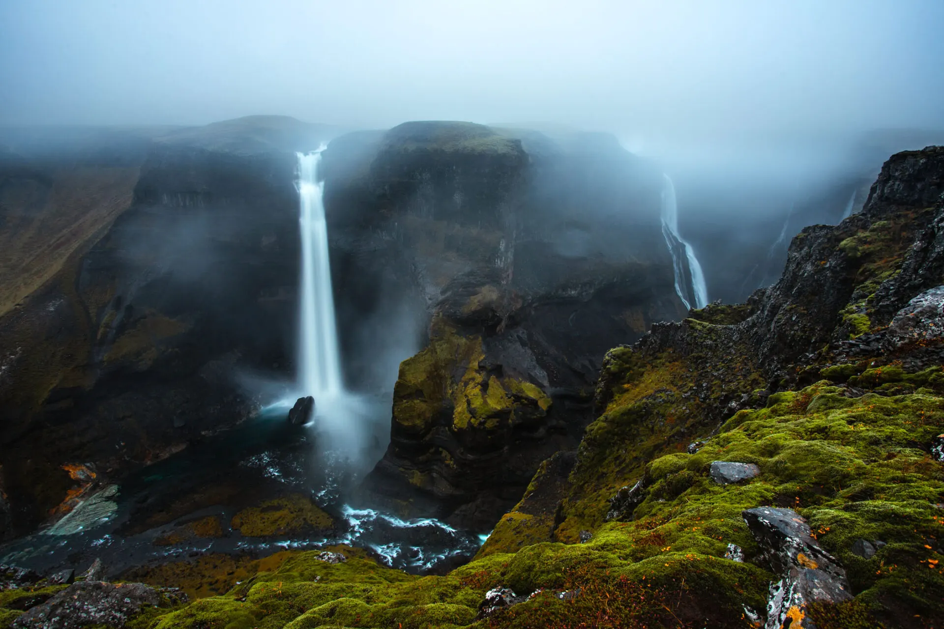
- Háifoss – Iceland's second-highest waterfall 64.207° N, 19.686° W
- Landmannalaugar – rainbow mountains and hot springs 63.991° N, 19.060° W
Háifoss: a waterfall in a canyon
At 122 metres, Háifoss is one of Iceland's highest waterfalls. It plunges into a deep canyon, and right next to it is the smaller Granni (the Neighbour). A gravel road leads to the viewpoint above the canyon; the last kilometres are bumpy, but it isn't a true F-road yet. The best view is from the canyon's edge, though the wind blows so hard that you have to hold your tripod.

Glacial rivers from a drone
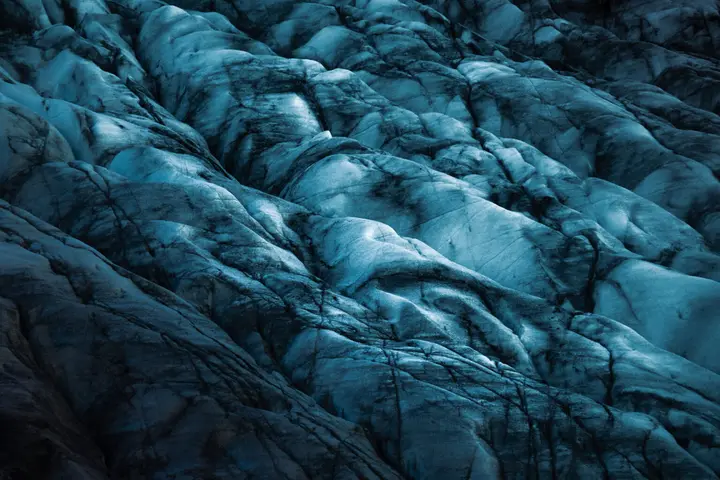
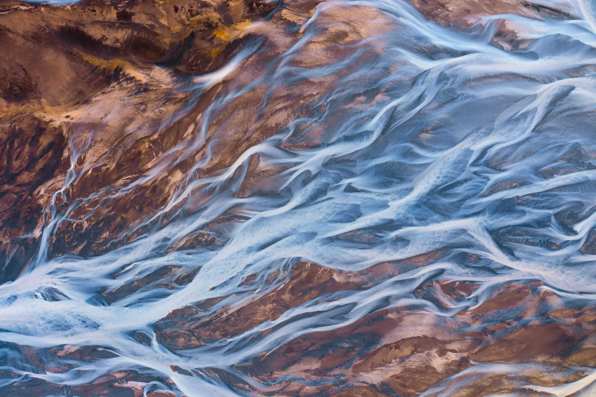
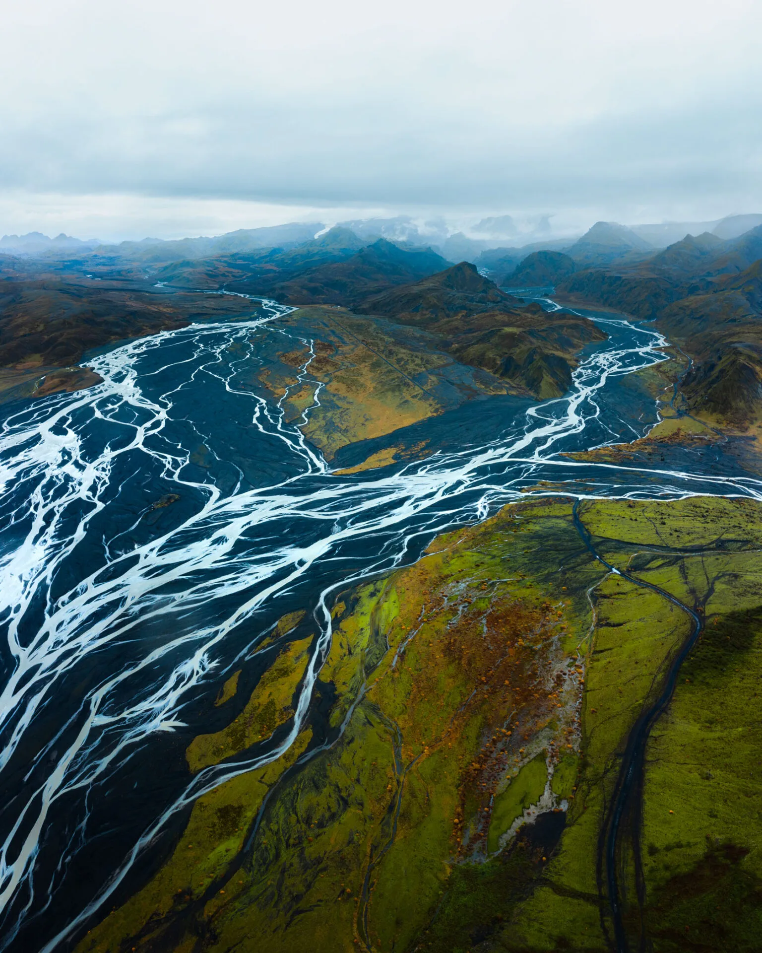
The interior is most beautiful from above. Glacial rivers spread into dozens of channels that look like an abstract painting from a drone. The colours change with how much sediment the river carries, from milky grey to turquoise. If you fly a drone, respect the rules and the bans in national parks.
Landmannalaugar and Kerlingarfjöll
The two most colourful places in Iceland. Landmannalaugar is known for its rainbow rhyolite mountains, lava fields and a hot spring you can bathe in. The famous Laugavegur trek to Þórsmörk starts here. Kerlingarfjöll, the "witch mountains", are less known and, to me, even more magical: I wrote about them in a separate article, Kerlingarfjöll: the witch mountains.
Weather and gear
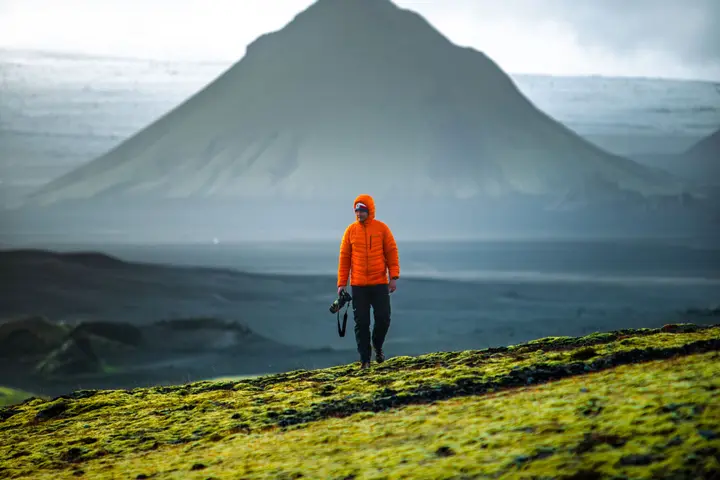
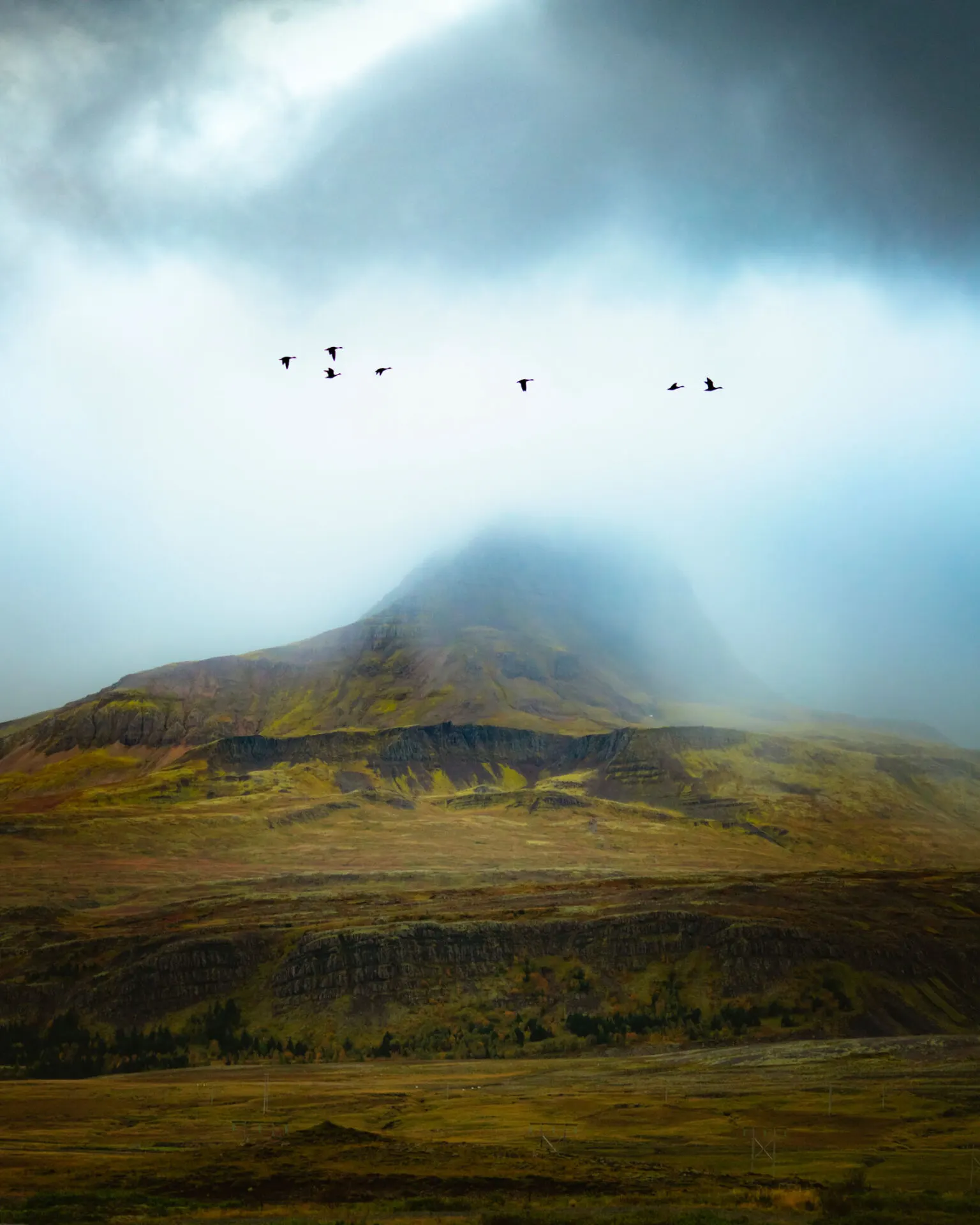
The highlands lie 500–1,000 metres above sea level, and the weather is unpredictable even in summer. In one day you can get sun, rain and snow. Bring waterproofs, a warm layer, food for several days and a first-aid kit. Phone signal is weak in places: leave your travel plan on safetravel.is.
When to go into the Icelandic interior
The ideal time is from mid-July to the end of August, when all the F-roads are open and the rivers are manageable. In September snow can already fall and roads close. The interior combines perfectly with the south coast: from Landmannalaugar it's not far to the waterfalls and black beaches.
Faq
Can I drive into the Icelandic interior in an ordinary car?
No. Only 4x4 cars may use F-roads, and rental insurance doesn't cover ordinary cars off paved roads.
When do the F-roads open in Iceland?
Usually from late June to September. The exact date depends on the snow and the state of the roads; check umferdin.is.
Can you reach Háifoss without a 4x4?
The road to the viewpoint above Háifoss is gravel and bumpy. In dry weather an ordinary car can manage it carefully, but a 4x4 is safer.