Kerlingarfjöll: the witch mountains in the heart of Iceland
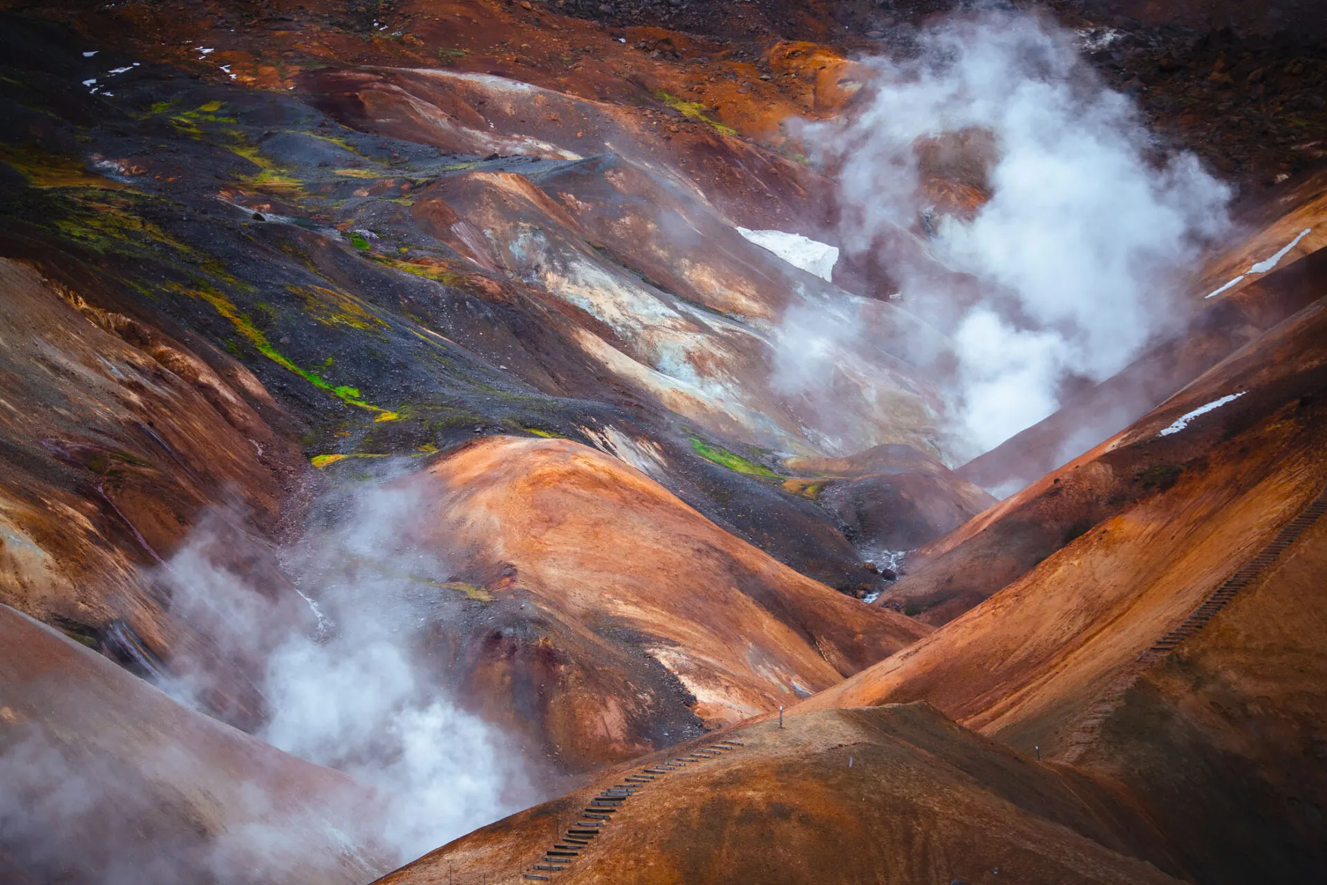
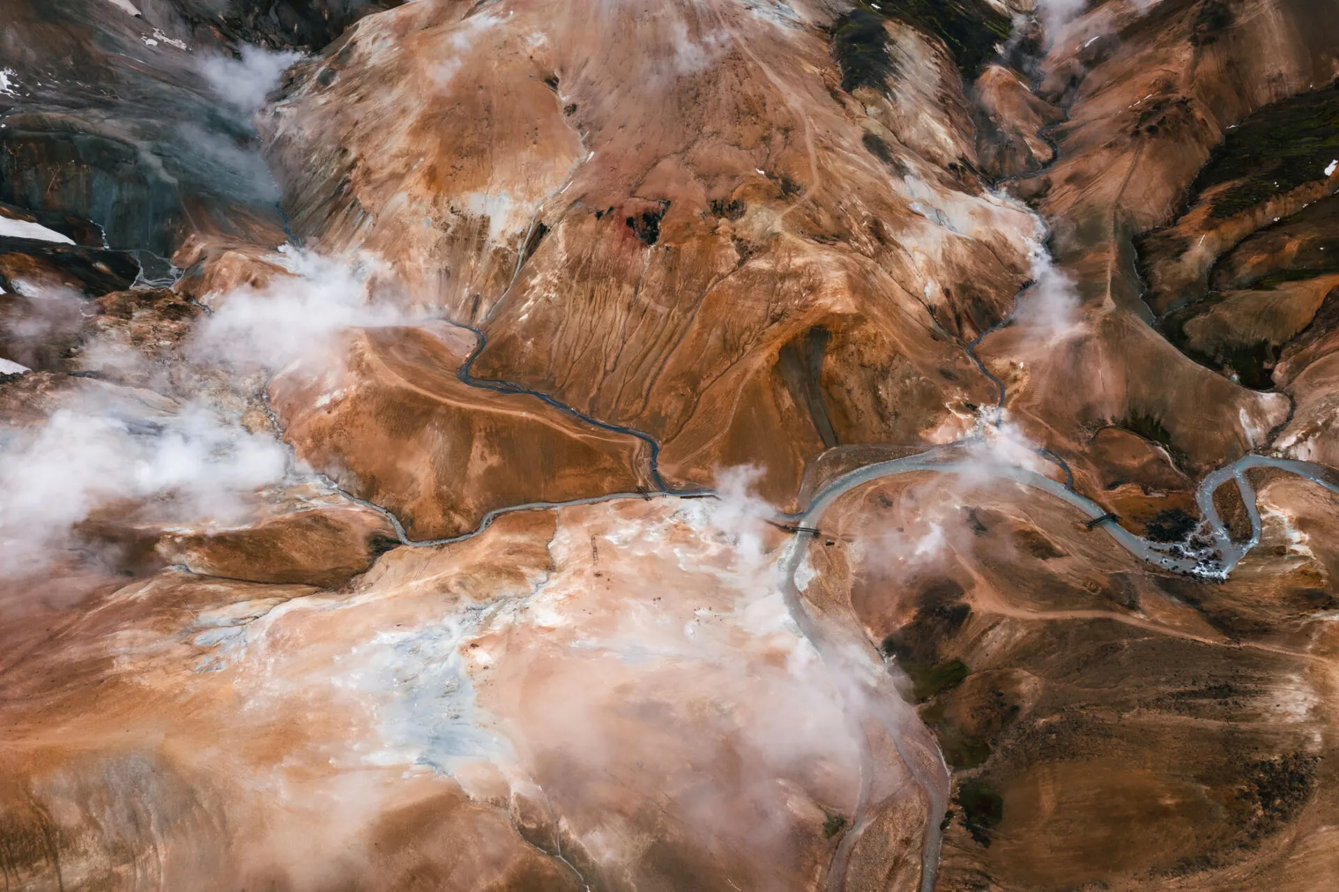
The mist lifted like a curtain, and in front of me opened a valley that looked like another planet. Orange, yellow and red mountains, snowfields, and columns of steam rising from the ground everywhere. Hissing, bubbling and the smell of sulphur. Kerlingarfjöll is to me the most magical place in Iceland's interior. The name means roughly "the old woman's mountains", or the witch's, and it fits.
The legend of the petrified witch
According to an Icelandic legend, a troll woman (kerling) once roamed here. She stayed in the mountains too long, and the morning sun turned her to stone. The rock pillar Kerlingin still recalls her. Icelandic legends are full of trolls turned to stone by the sun: the Hvítserkur rock tells a similar story, which I write about in northern lights hunting in Iceland.
How to get to Kerlingarfjöll
Kerlingarfjöll lies in the centre of Iceland, near the F35 Kjölur road, which links the south and north of the island between the Langjökull and Hofsjökull glaciers.
- From Gullfoss it's about 2 hours' drive along the F35; the F347 turn-off leads to the mountains.
- The F35 is one of the easiest F-roads, but you still need a 4x4.
- The roads are open from about late June to September.
You'll find more about F-roads, river crossings and preparation in an expedition into the Icelandic highlands.
- Gullfoss – start of the F35 64.327° N, 20.120° W
- Kerlingarfjöll resort – accommodation and campsite 64.681° N, 19.319° W
- Hveradalir – geothermal valley 64.625° N, 19.288° W
- Hveravellir – hot spring on the F35 64.867° N, 19.567° W
Hveradalir: the valley of hot springs
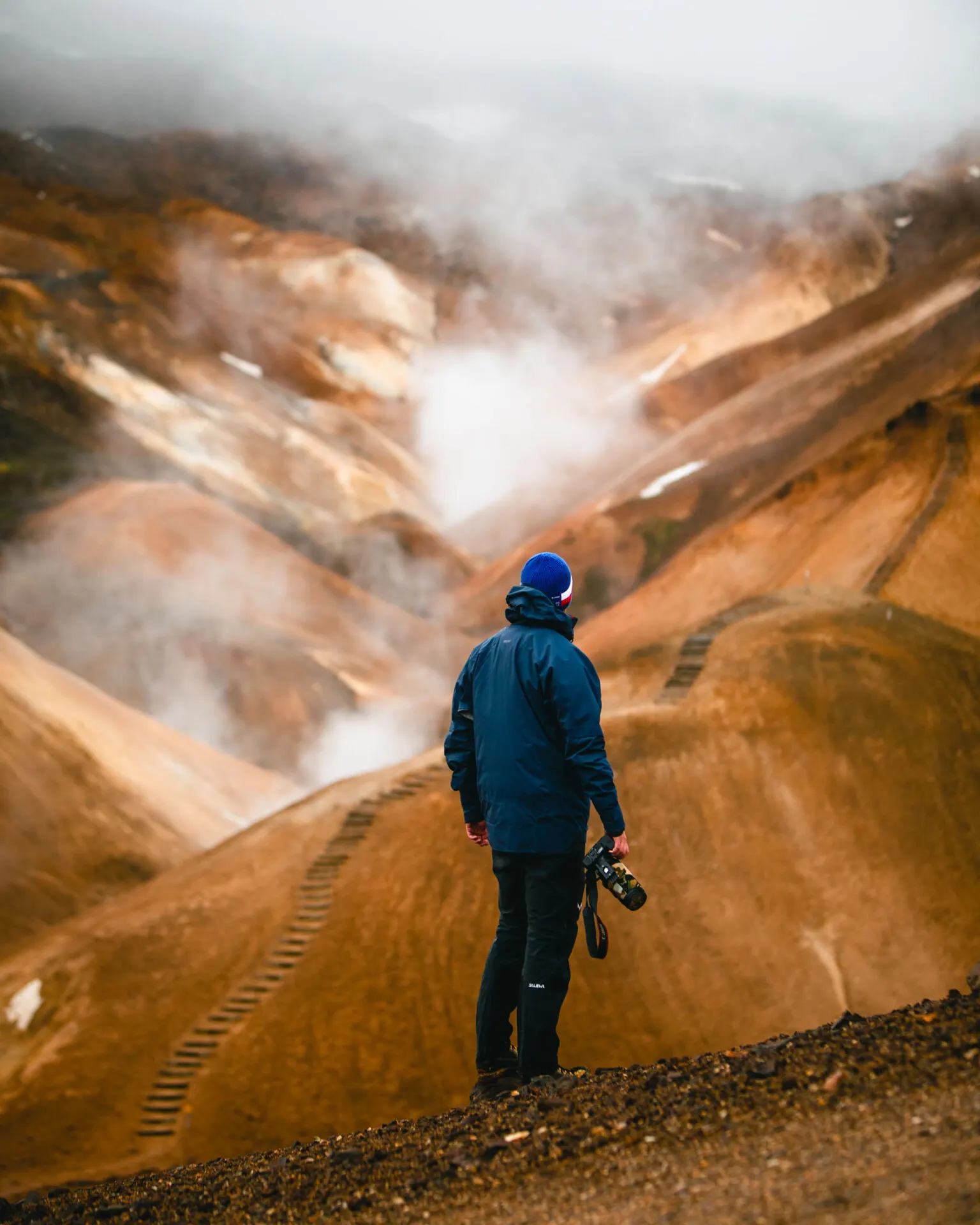
The main attraction is the Hveradalir geothermal valley. From the car park above the valley you go down steps and paths between steaming springs, mud pots and streams stained red by minerals. Even in summer snowfields lie between the colourful slopes, so you see ice and boiling water side by side.
The rhyolite rock gives the mountains their colours: orange, yellow, red and green. In mist and steam the landscape looks like a painting.
Hikes in Kerlingarfjöll
Several loops run around Hveradalir. The most popular are short routes right through the valley (1–3 hours) and the climb to the summit of Snækollur (1,477 m), which on a clear day has a view of the Langjökull, Hofsjökull and Vatnajökull glaciers. For a longer trip you can stay at the mountain resort or campsite.
Photography in the witch mountains
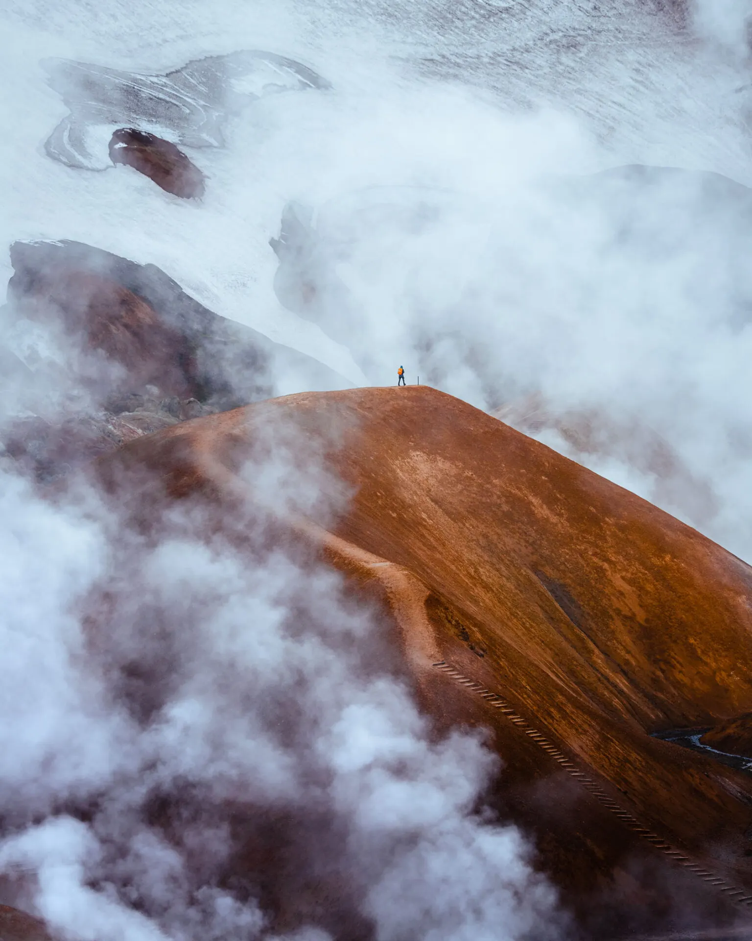
Kerlingarfjöll is most beautiful in mist or after rain, when the colours are richer and the steam stronger. A polarising filter helps with reflections on wet rock. From a drone the coloured patterns of the streams stand out. If colourful mountains appeal to you, another tip is Landmannalaugar in the south of the highlands.
Faq
What does Kerlingarfjöll mean?
Loosely translated, "the old woman's mountains". The name refers to the legend of a troll woman who turned to stone in the sun.
Do I need a 4x4 for Kerlingarfjöll?
Yes. The F35 and the turn-off to the mountains are F-roads, where only 4x4 cars are allowed.
When is Kerlingarfjöll accessible?
In summer, from about late June to September, when the F-roads are open.