Southwest Iceland: Reykjanes, the Golden Circle and lava near Reykjavík
Southwest Iceland is the first part of Iceland you see: Keflavík airport lies on the Reykjanes peninsula. Lots of people just drive through it on the way to Reykjavík, which is a shame. Here you'll find active volcanoes, steaming geothermal fields, a place where the continents pull apart, and Iceland's most famous tourist route, the Golden Circle. Ideal for your first days after landing.
The Reykjanes peninsula
Reykjanes is a young volcanic landscape. Since 2021 volcanoes have erupted here several times: at Fagradalsfjall and later at Sundhnúkur near Grindavík. The land is strewn with black lava fields covered in moss, and steam rises from the ground everywhere.
- Gunnuhver: bubbling mud pools and a huge column of steam. You walk on boardwalks.
- Brimketill: a lava pool on the coast where the waves crash in.
- The Bridge Between Continents: a footbridge over the rift between the North American and Eurasian plates.
- Seltún and Lake Kleifarvatn: a colourful geothermal field at Krýsuvík.
- The Blue Lagoon: the most famous geothermal spa, right by the airport.
- Keflavík airport – arrival 63.985° N, 22.606° W
- Gunnuhver – geothermal field 63.820° N, 22.684° W
- Seltún – coloured earth and steam 63.896° N, 22.055° W
- Reykjavík – the capital 64.147° N, 21.943° W
- Glymur – Iceland's second-highest waterfall 64.391° N, 21.248° W
- Þingvellir – national park, the continental rift 64.256° N, 21.130° W
- Geysir – the Strokkur geyser 64.310° N, 20.302° W
- Gullfoss – the Golden Falls 64.327° N, 20.120° W
The Golden Circle
The Golden Circle is a route of about 230 km from Reykjavík that links three main sights:
Þingvellir
A national park and UNESCO site. It was the seat of the Althing, one of the oldest parliaments in the world (from 930). You walk through a valley between two tectonic plates, and in the Silfra fissure you can dive in the clearest water in the world.
Geysir and Strokkur
The Great Geysir, which gave its name to every geyser in the world, now erupts only rarely. Its neighbour Strokkur, though, shoots a column of water 15–20 metres high every few minutes. For a photo, try burst mode at the moment a blue bubble forms above the surface.
Gullfoss
The Golden Falls, where the Hvítá river drops in two steps into a narrow canyon. In sunshine a rainbow forms above it. From here the F35 road leads into the Icelandic interior and to Kerlingarfjöll.
The Glymur waterfall
If you want a hike, head into the Hvalfjörður fjord to the Glymur waterfall (198 m), the second-highest in Iceland. The path leads through a cave, across a river on a log and along the canyon's edge: about 7 km and 3–4 hours. It isn't recommended in winter.
Reykjavík
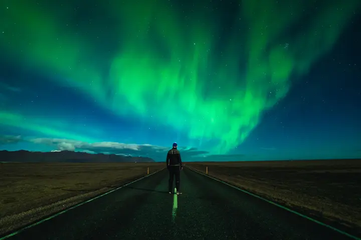
The capital is small, colourful and pleasant. Hallgrímskirkja church with its tower lookout, the Harpa concert hall, the harbour with its fish restaurants and Laugavegur street. For the northern lights, a 20-minute drive out of town is enough.
Where next
From the southwest most people head along the south coast or to the Snæfellsnes peninsula for the seals at Ytri Tunga.
Faq
How much time do I need for the Golden Circle?
You can drive the Golden Circle in one day from Reykjavík. If you want to take photos and not rush, split it over two.
Is it safe to go to Reykjanes with the volcanoes?
Usually yes, but the situation changes. Always follow current information on safetravel.is and respect closures.
Is the Blue Lagoon worth it?
It's beautiful, but expensive and crowded. Cheaper, quieter alternatives include the Sky Lagoon, Hvammsvík and smaller local pools.